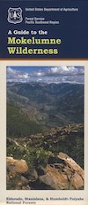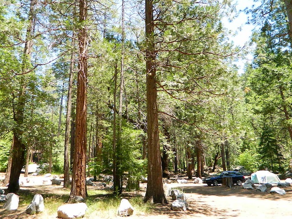
Mokelumne River has numerous developed campgrounds and primitive camp sites among these steep forested hills. Mokelumne River runs through Eldorado National Forest, from the upper elevations of the Sierra Nevada mountains (aka Mokelumne Wilderness).

 by county
coastal
deserts
urban
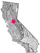
mountains
countryside
snow towns
parks & forests
cali maps
by county
coastal
deserts
urban
mountains
countryside
snow towns
parks & forests
cali maps
Mokelumne River has numerous developed campgrounds and primitive camp sites among these steep forested hills. Mokelumne River runs through Eldorado National Forest, from the upper elevations of the Sierra Nevada mountains (aka Mokelumne Wilderness).
pine grove, California
![]() Mountain
Mountain
![]()
recreation:
parks, forests, rivers & lakes:
pine grove campgrounds
Indian Grinding Rock State Park
Dimond O Campground
Oak Knoll Camp @ New Hogan
Mokelumne River Campground
Moore Creek Campground
Gold Country Campground
White Azalea Campground

description:
Gold Country climbs into the Sierra Nevada on mountain highway 88, the Carson Pass. Historic gold mining community on the edge of the National Forest. Big rivers, deep canyons. Rural residential w/ ranch estates, perhaps remote mountain cabins. High elevation forested peaks.
CALFire Station
209-296-4435
Pine Grove California
209-296-7626
https://pinegroveca.com/
Munnerlyn's Ice Creamery
Las Minas Mexican Restaurant
Pine Grove Market
Ridge Road Garden Center

Advertisement


Total Escape has been an AmazonAssociate for 20 years!
Earnings from purchases keeps this site alive.
Copyright © 1996-2024 Total Escape, totalescape.com / All Rights Reserved.
classic | lodge | recreation | destinations | journey | ads | sitemap | outside | maps | gear | mobile