Advertisement
Activities
| Camp | Camping
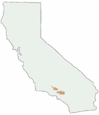
| Destinations | Mountains | CA National Forests
national.forest.angeles
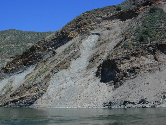
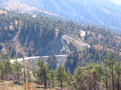
Photo Credit © Cindy C of ODC
|
|
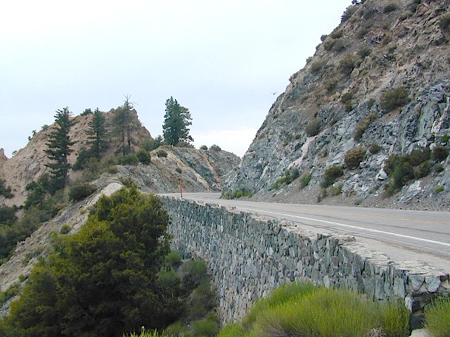
Angeles Crest Hiking & Camping
 This public forest land proximity to the large metro region of Los
Angeles
can make it a haven for weary city dwellers needing
a quick escape. Sport cars, motorcyles, RVs and tourists all drive these winding highways. Be warned that the valley views are often hindered by dense smog rising up from the coastal basin below. However, on a windy, sunny and clear spring day, it can make L.A. county look almost like paradise with ocean views seen from 100 miles away. Fire restrictions are often extremely high in these parts, so open back country campfires are seldom allowed. It is rumored that this is one of the largest 'dead body dumping grounds' on the west coast, but what do you expect from a metropolis like LA.
This public forest land proximity to the large metro region of Los
Angeles
can make it a haven for weary city dwellers needing
a quick escape. Sport cars, motorcyles, RVs and tourists all drive these winding highways. Be warned that the valley views are often hindered by dense smog rising up from the coastal basin below. However, on a windy, sunny and clear spring day, it can make L.A. county look almost like paradise with ocean views seen from 100 miles away. Fire restrictions are often extremely high in these parts, so open back country campfires are seldom allowed. It is rumored that this is one of the largest 'dead body dumping grounds' on the west coast, but what do you expect from a metropolis like LA.
|
|
Wilderness areas within the forest:

Required
|
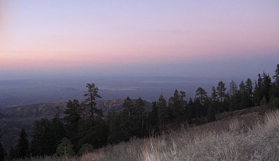
Photo Credit © Cindy C of ODC
|
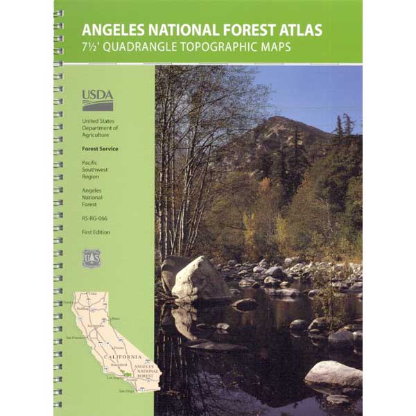
Angeles Topographic Maps
|
| Desert |
Country |
Mountain |
| high desert terrain on eastern slopes
facing Antelope Vlly
|
rolling hills & wildflower meadows,
lakes, Grapevine, Interstate 5
|
pine forest, scenic drives along
Hwy. 2, ski resorts
|
|

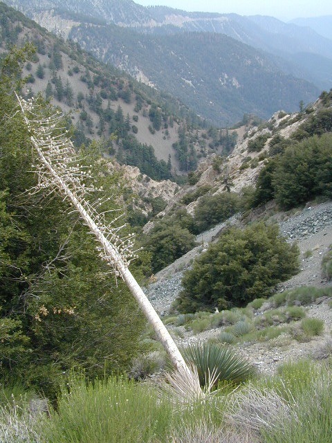
Angeles Backpacking
- convenient & close to Los Angeles
- drive to your trail head in a short amount of time
- open ground fires are usually not allowed (unless low fire
danger is in force)
- wilderness hiking, camp or fire permits are required
- permits are required for overnight back country camping
- check with the correct ranger district for all back country
camping restrictions
- Pacific Crest Trial runs through this mountain range
- many other loop trails are available
Angeles Ranger Stations:
Angeles Forest Headquarters
Arcadia CA
626-574-1613
|
Los Angeles River District
Flintridge CA
818-790-1151
|
San Gabriel River District
Glendora CA
626-335-1251
|
Santa Clara / Mojave Rivers
District
Saugus CA
661-296-9710
|
Angeles National Forest
government web site
|
San Gabriel Mountains
NEW National Monument 2014
|
Trail head parking spots located at:
|
Total Escape California Camping
Advertisement
|
|


 Los Angeles Back Roads
 Angeles Campgrounds
 Angeles Forest Trails & Angeles Crest Hiking
 Los Angeles Area Lakes
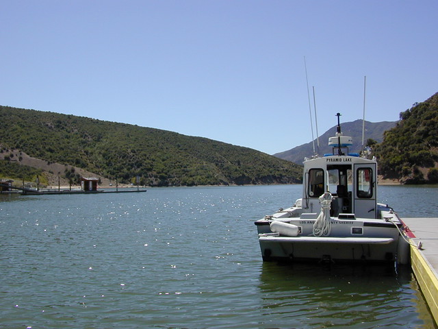
 Star Gazing Los Angeles