national.forest.eldorado
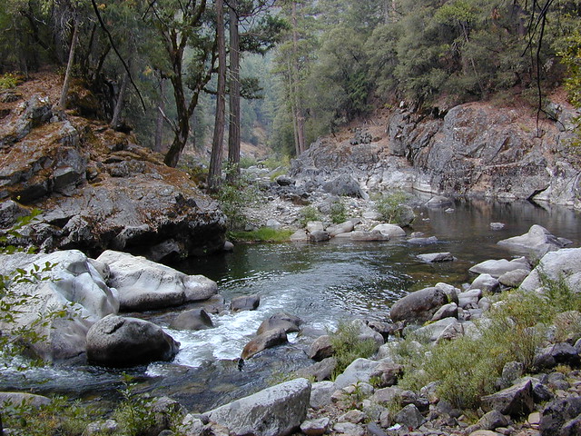
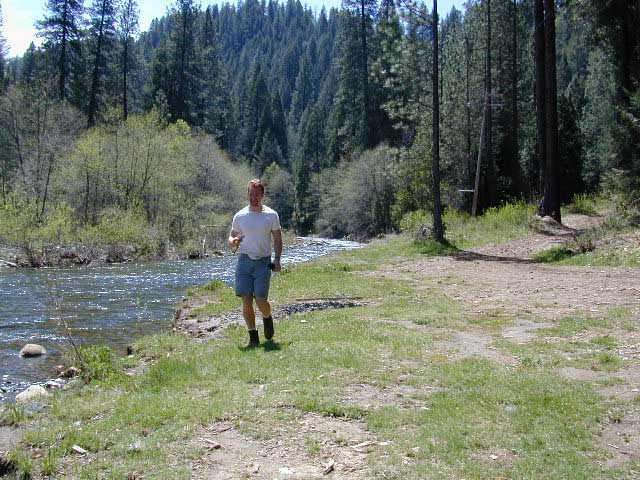
Best riverside camping at Mokelumne River. Many miles off Hwy 88 - Mokelumne Campground
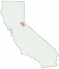
Guide to California: El Dorado Forest
|

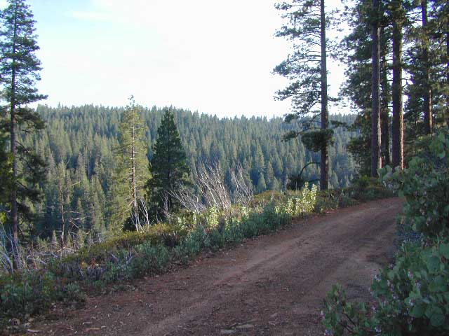
Dirt roads! Caldor Road near Grizzly Flat
|
|
|
Designated wildernesswithin the forest:
|
Good camping in forests near rivers and within the historic Gold Mining Country of California. River and creekside campgrounds are plentiful. Free camping, or dispersed camping, is abundant on the lower elevation back roads in the Sierra Nevada foothills. |
|
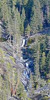
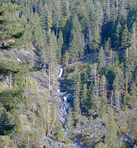
Falls on Dogtown Creek
|
|

|

El Dorado Backpacking
- fire permits are required
- permits are required for overnight back country camping
- check with the correct ranger district for all back country
camping restrictions
El Dorado Ranger Stations:
Trail head parking spots located at:
| camp |
sites |
elev. |
veg |
toilet |
water |
contact |
fee |
| Upper Hell Hole |
15 |
5200 |
pines |
vault |
none |
Georgetown Distr.
530/333-4312
|
$ 0 |
|
[ upper
end of Hell Hole Reservoir, best fishing in area]
Accessible by boat or trail only
Foresthill 36 mi. east via Mosquito Ridge & French
Meadows Rd. to south end of French Meadows Reservoir, turn on
Forest Service Rd #48, gravel road & go 12 mi. to the campground.
Trail is located a mile beyond boat launch.
open May- October
|
El Dorado Backroads
Foresthill CA: Forest
Service Rd #48 = 36 mi. east via Mosquito Ridge
& French Meadows Rd. to south end of French Meadows Reservoir,
turn on Forest Service Rd #48, gravel road & go 12 mi. to
the campground. Plenty of good dirt roads in the area. Some route will require 4x4 vehicle.
ElDorado boasts the best of both worlds. Awesome, small, lesser-known campgrounds and limitless dispersed camp sites. Find your own private river retreat - well away from the crowds. Two narrow Sierra highways wind thru the mountains - Highway 4 and Highway 88 - pick one and then start to explore. Secluded fishing, RV campgrounds, recreational lakes, creekside free camping.
If you are tired of crowded family campgrounds, then get yourself a free camp fire permit, area map & get out to explore these ElDorado backroads. You will find secluded riverside camps, plenty of tall shady pine trees & maybne even an old mine. But please respect the private property signs, or you may end up with a shotgun blast warning.
El Dorado Lakes
| off hwy. 50
|
off hwy. 88
|
|
|
|
|
Jenkinson Lake

3500' elevation
Sly Park Lake, also known as Jenkinson Lake, has a whopping 185 campsites around lake. Summer can be busy. Good
trout fishing and water skiing. Horse corrals camps are available.
To stay out of the large campground, keep to the nearby backroads.
for all kinds of primitive camping options.
Just make sure you have your free ranger issued fire
permit
.
|
El Dorado Waterfalls
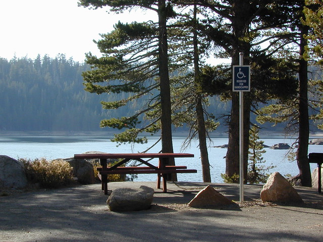
Handicap camp sites at Blue Lakes Campground, California


 El Dorado Campgrounds
 El Dorado Primitive
Camping
El Dorado Primitive
Camping

