a d v e r t i s e m e n t s

Destinations | Country

town.new cuyama

New Cuyama

What's the difference between New Cuyama and Old Cuyama? About 5 miles! Since Old Cuyama is in a flood basin, they moved the majority of 'town' it west. New deli and Mexican food open now. The rural real estate sign reads 'for sale' @ the Cuyama Buckhorn motel and restaurant. This area is a prime biker route and awesome drive west from here. The location is the middle of nowhere. 
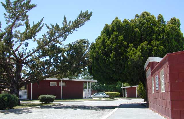
New Cuyama is an agriculture mecca, with some cattle grazing and oil drilling nearby. The entire Cuyama River Valley (along Hwy 166) borders Los Padres National Forest. General store and gasoline, that's about it. Oh yeah, and wildflowers!
Los Padres National Forest Map: South
Dick Smith Wilderness Map
Topo Atlas Los Padres Forest
Los Padres National Forest
elevation: 2150' population: 80 zip code: 93254

Country

terrain:
Coastal mountain foothills


View Larger Map

location:
Santa Barbara County
E of Pismo Beach
on Hwy 166

maps


recreation:

  • backpacking
  • camping
  • mountain biking
  • hiking
  • off-roading
  • wildflowers
  • volcanic rocks
  • parks, forests, rivers & lakes:

  • Los Padres National Forest
  • Ballinger Canyon OHV
  • Quatal Canyon
  • Cuyama River
  • Sierra Madre Mountains
  • San Rafael Wilderness
  • Bates Canyon
  • Bitter Creek National Wildlife Refuge
  • Carrizo Plain National Monument
  • Dick Smith Wilderness
  • California Coastal Forests Map Set
    California Coastal Forests Map Set

    new cuyama campgrounds

    McGill Campground - Mt. Pinos
    Pismo Beach Camping
    Quatal Canyon
    Nettle Springs Campground

    tent camping

    description:
    Agricultural community with a general store, post office, restaurant, burger shack & a boarded-up motel. This small community is located on Hwy 166, W of Hwy 33. A perfect stop over point for travelers heading to coastal destinations. The restaurant is decent cooking & service is pleasant. Located in between the Los Padres National Forest & the San Luis Obispo coastline, it is a nice place to relax on your drive west. A favorite motorcyclist route too. CHP is usually out with radar, so watch your speeds.

    nearby towns:
    Ventucopa
    Pine Mountain
    Taft
    Santa Maria
    local links:

    Guided Hikes: Naturalist For You
    Cuyama Wildflowers
    Farms of Cuyama
    Bolthouse Juices
    Los Padres Forest Watch

    Advertise on this site
    Search : Motorcycle Journeys Through California
    Motorcycle Journeys Through California

    Search : Best Bike Rides in Northern California (Best Bike Rides Series)
    Best Bike Rides in Northern California (Best Bike Rides Series)

    Search : How to Ride Off-Road Motorcycles: Key Skills and Advanced Training for All Off-Road, Motocross, and Dual-Sport Riders
    How to Ride Off-Road Motorcycles: Key Skills and Advanced Training for All Off-Road, Motocross, and Dual-Sport Riders

    Amazon.com's Price: $18.92
    Search : Destination Highways Northern California BAY AREA: A Motorcycle Enthusiast's Guide to the Best 62 Roads in the Bay Area
    Destination Highways Northern California BAY AREA: A Motorcycle Enthusiast's Guide to the Best 62 Roads in the Bay Area

    Search : AMA Ride Guide to America: Favorite Motorcycle Tours in the USA (American Motorcyclist Association Ride Guide)
    AMA Ride Guide to America: Favorite Motorcycle Tours in the USA (American Motorcyclist Association Ride Guide)


    California Weekends
    Copyright © 1996-2013 Total Escape, www.totalescape.com / All Rights Reserved.

    home | lodge | recreation | destinations | journey | trips | advertise | site map | outside | maps | gear


    El Monte RV Rentals & Motorhome Rentals


    Low Prices On Jeep Parts

    Thermal Wear at EssentialApparel.com

    The World's Largest Online Map Store!