


ventucopa, California
![]() Country
Country
![]()
terrain:
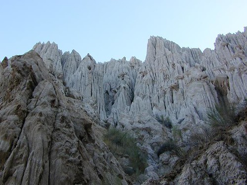
A small agricultural valley that it situated west of a pine forested mountain range.
View Larger Map
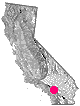
location:
Santa Barbara County
W of Pine Mountain Club
on Hwy. 33, South of Hwy. 166 @ Quatal Canyon Rd.
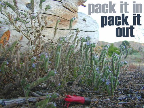
recreation:
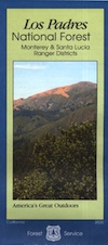
parks, forests, rivers & lakes:
ventucopa campgrounds
Toad Spring Campground
Nettle Springs Campground
Ojai Camping
Frazier Park Camping
Valle Vista Campground
Santa Lucia Camping
Reyes Peak Pine Mountain

description:
Small farming area, south of Central Valley California, surrounded by mountain peaks. Pistachio orchards, vineyards & a few restaurants. Plenty off-roading & dirt roads to explore.
- nearby towns:
- Pine Mountain
- Ojai
- New Cuyama
- Taft
- Maricopa
- Frazier Park
- Pine Mountain


Advertisement


Total Escape has been an AmazonAssociate for 20 years!
Earnings from purchases keeps this site alive.
Copyright © 1996-2024 Total Escape, totalescape.com / All Rights Reserved.
classic | lodge | recreation | destinations | journey | ads | sitemap | outside | maps | gear | mobile