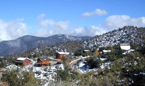
Motorcycle roads, off road routes, hiking trails, free campgrounds, cabin rentals, stargazing. Mountain elevations range from 5000' - 8800', from San Emigdio Canyon to the top of Mount Pinos, the tallest peak in Kern County.

 by county
coastal
deserts
urban
mountains
countryside
snow towns
parks & forests
cali maps
by county
coastal
deserts
urban
mountains
countryside
snow towns
parks & forests
cali maps
Motorcycle roads, off road routes, hiking trails, free campgrounds, cabin rentals, stargazing. Mountain elevations range from 5000' - 8800', from San Emigdio Canyon to the top of Mount Pinos, the tallest peak in Kern County.
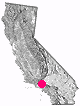
pine mountain, California
![]() Mountain
Mountain
![]()
recreation:
parks, forests, rivers & lakes:
pine mountain campgrounds
Mount Pinos Camping
McGill Campground @ Mt Pinos
Fort Tejon State Park
Wheeler Gorge Campground
Ojai Camping
Campo Alto Campground
Toad Spring Campground
PMC Campground
Chuchupate Campground
Dome Springs Lockwood
Frazier Park Camping
Wind Wolves Preserve

description:
Cabin community in SoCal that surprising very few know about. Mountain cabins & private homes range from weekend rentals to full time residents. Motorcycle riders love this area, as the highways are virtually empty & scenery is great forests of pines. Off roaders dig the abundant dirt back roads. Hike, Mountain Bike, Golf, Camp & Yoga.
During the winter months, the PMC Golf Course can be used for snow play under certain conditions: There must be at least 6 inches of snow on the course for it to be open for play. Look for the [Open for Snow Play] sign on Mil Potrero Hwy. Please call to confirm prior to travel. Call for snow and road conditions 661-242-3734
Mountain Communities Chamber of Commerce
P.O. Box 552, Frazier Park, CA 93225
661-245-1212
https://www.mymountainchamber.com/
PMCPOA / Pine Mountain Club
Pine Mountain Charter School
Jizo Peace Center
Lilac Festival Pine Mountain
Real Kern County
Mt Pinos Clear Sky Chart
Cuddy Valley Web Cam
Mil Potrero Mutual Water Company
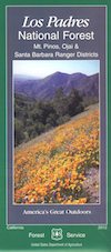
Los Padres National Forest Maps
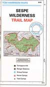
Sespe Wilderness Map
Dick Smith Wilderness Map
Quatal Canyon Road #9N09
Cuyama River Valley
PMC Equestrian Center

Advertisement


Total Escape has been an AmazonAssociate for 20 years!
Earnings from purchases keeps this site alive.
Copyright © 1996-2024 Total Escape, totalescape.com / All Rights Reserved.
classic | lodge | recreation | destinations | journey | ads | sitemap | outside | maps | gear | mobile