


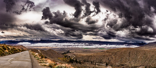
Bishop, California is the commercial hub of the Eastern Sierra Mountains & Highway 395. Easily find lodging, gasoline & eateries. Positioned in between Death Valley Park & Mammoth Lakes, Bishop sees most tourists passing through, but there is plenty to explore all the way around.
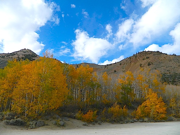
For those who want to make Bishop, CA their destination, there is plenty outdoor recreation to be had. Fishing the Owens River, South Lake or Lake Sabrina; rock climbing the Buttermilks, lake kayaking, creek fishing, backpacking the Sierra High Country, day hiking near trees, exploring petroglyphs on the volcanic Tablelands, mountain biking, soaking in primitive hot springs, while stargazing. The list goes on. Great scenery & plenty campgrounds surround this Eastern California big town.
bishop, California
![]() Mountain
Mountain
![]()
recreation:
parks, forests, rivers & lakes:
bishop campgrounds
Bishop Park Camp Site
Four Jeffrey Campground
Big Pine Creek Campground
Table Mountain Campground Inyo
Upper Sage Flat Campground
BLM Office Bishop Camping
Brown's Town Campground
Glacier View Campground
Pleasant Valley Campground
Millpond Campground
Baker Creek Campground

description:
The booming metropolis of the Eastern Sierra, serving as the city center for all the US 395 traffic. Gasoline, lodging & fast food. Main street shop and cafes. Pick a hotel off the main drag for a better nights rest, as the semi-trucks can be rolling at all hours of the night.
local links:
Bishop Chamber of Commerce & Visitors Bureau
690 N. Main St. Bishop, CA 93514
760-873-8405
888-395-3952
https://www.bishopvisitor.com
Rock Shoe Repair
Friends of the Inyo
Sage to Summit
Millpond Equestrian Center
Bishop Country Club
Southern Sierra Cyclists
Happy Sad Boulders
Boulder Buttermilks Bishop CA
Eastern Sierra - US Hwy 395
Deep Springs College
Sierra Mountain Center
Eastern Sierra Transit
Bishop Hotels & Lodging
Bishop Mountain
Eastern Sierra Interpretive Assoc.
Montgomery City, California
Owens River Fishing Map
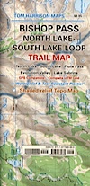
Bishop Pass Map
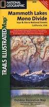
Inyo Forest Topo Atlas
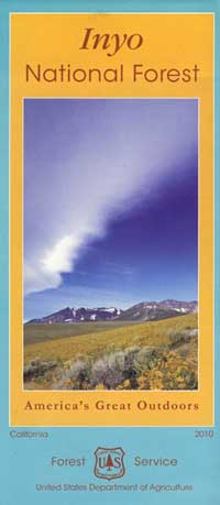
Inyo National Forest Map


Advertisement


Total Escape has been an AmazonAssociate for 20 years!
Earnings from purchases keeps this site alive.
Copyright © 1996-2024 Total Escape, totalescape.com / All Rights Reserved.
classic | lodge | recreation | destinations | journey | ads | sitemap | outside | maps | gear | mobile