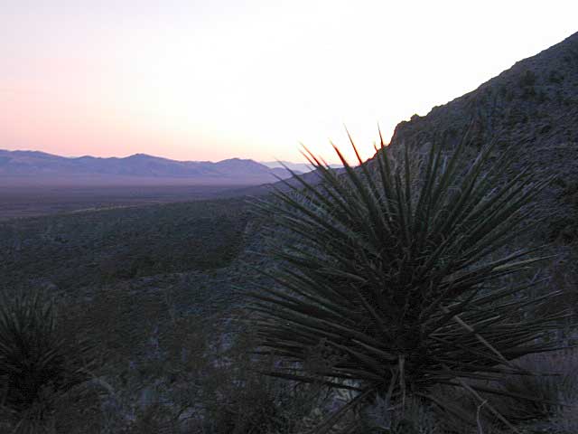
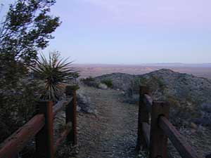
Tallest Yucca
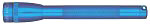
Night hikes are super cool and the lava tube is dark in some spots.
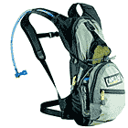
Bring a flashlight in any case.
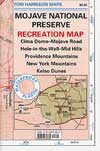
Mojave Campgrounds
click on campground name for photos & more descriptions
| campground |
elev |
spots |
veg |
toilet |
water |
fee |
|
comments |
| Hole-in-the-Wall |
4400'
|
24 |
yucca |
pit |
piped |
yes |
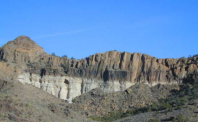
rock
formations |
centrally located
|
Black Canyon
corrals / group camp |
4400'
|
20 |
yucca |
pit |
piped |
yes |
open
area |
 equestrian equestrian
|
| Mid Hills Campground |
5600'
|
20 |
junipers |
pit |
piped |
yes |
in
the trees |
8+ mi.
of dirt road travel
|
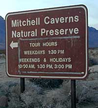
Providence Mountains
Mitchell Caverns |
4300'
|
6
|
yucca |
pit |
piped |
yes |
exposed, but
great views
|
limited RV spots
|
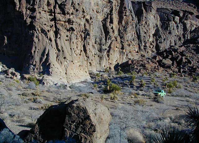
Primitive Camping
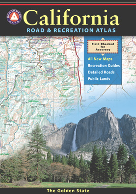
ROADSIDE CAMPING: Get a park map
& explore the dirt back
roads .. there are plenty of great hidden spots to camp along
these roads. Rangers ask that you please use an existing site
(with rock ring) in order to prevent additional scars. Some places
are not suitable for RV travel & many roads will require 4wheel
drive. Remember not to slow down or stop in soft sand, you are
likely to get stuck.
Directions to some up of the roadside
camping areas:
Kelso Sand Dunes - sites are located near the gate and the
end of the access road to the dunes. 2-3 sites.
Rainy Day Mine Site - 15.2 mi. south of Baker on Kelbaker
Rd. Go 0.3 mi. north of Kelbaker Rd. on the road leading to Rainy
Day Mine. 4x4 vehicles only. No RVs. 3-4 sites.
Black Canyon Rd. - 5.2 mi. south of Hole-in-the-Wall
Visitors Center on the east side of Black Canyon Road. 3-4 sites.
Powerline Site - 11.8 mi. north of Kelso on Kelbaker
Rd., where power lines crossed the road. 2-3 sites.
Caruthers Canyon - 5.5 mi. west of Ivanpah Rd. on New
York's Mountains Rd. 1.5 to 2.7 miles north of New York's Mtns.
Rd. to camp sites. No RVs. 3-4 sites.
Sunrise Rock - 10.4 mi. south of Interstate 15 on the
east side of Cima Rd. Trail head for Teutinia Peak is nearby
on the opposite side of Cima Rd.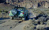
Mojave BackRoads
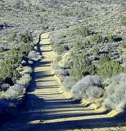
The majority of this Natural Scenic Area is dirt back roads,
so get your self prepared & take precautions: water, warm
clothes, matches, tune up. Also get your SUV out & ready to
explore. Many roads will require 4wheel drive, but there are still
plenry suitable for 2WD. Remember not to slow down or stop in
soft sand, you are likely to get stuck.
Easy Loop Rd./ Wild Horse Canyon Rd. - Off of Black Cayon Rd, just south of Hole-in-the-Wall Visitors Center starts a loop road that circles around the back side of Hole-in-the-Wall & leads up to Mid Hills campground. A few spur roads trail off & are limited in use. Pay close attention to signage.
Mojave Park has 1600 miles of dirt roads open to explorers. Only street legal vehicles are permitted in this desert preserve. ATVs, quads and dune buggies are not permitted; All vehicles must remain on open roads. So read this: No cutting across the desert like a wild man. Save that 'froadin' stuff for the deserts of Barstow baby!
Historic Kelso Depot is now the main Visitors Center for the park. Well worth a visit.


 <
<