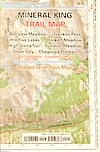
Mineral King Backpacking
This place is a back packers dream. Where else can you drive
right up to the doorstep of 11,000-12,000 foot Sierra peaks &
climb right up into alpine back country in just a few hours.
- fire permits are required
- permits are required for overnight back country camping
- check with the correct ranger district for all back country
camping restrictions
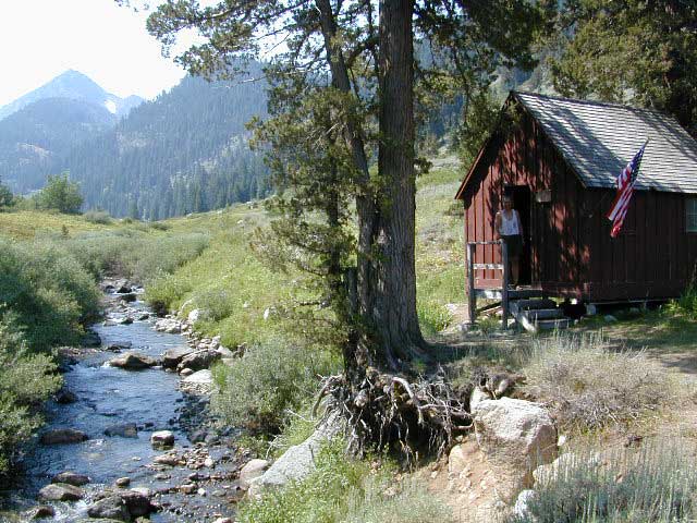
Trail head parking spots located at:

Mineral King Campgrounds
click on campground
name for photos & more descriptions
Primitive Camping
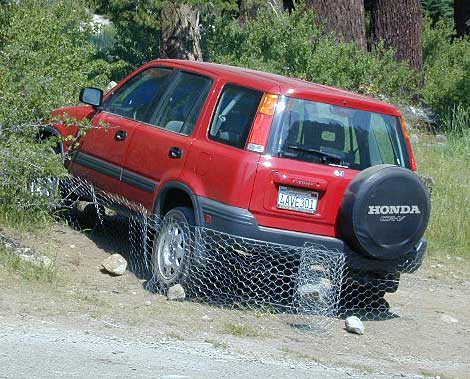
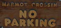
The National Park does not allow dispersed car camping anywhere
along the Mineral King Rd. Other remote camping options are to
the south in the Sequoia National Forest.
A small section in between Kings Canyon
& Sequoia National Parks - located
just next door, features Jennie Lakes & Monarch Wilderness.
Forest Service Rds.#
- 19S36 - The dirt roads from Sequoia
National Forest, Mountain Home
State Forest & Balch Park do not connect through the
mountains (via Grouse Pk. / Case Mtn) through the western valleys
due to private land communities with locked gates.
- Crunigan Creek Rd up to Milk Ranch Peak doesn't go
very far. It is gated one mile up due to private property.
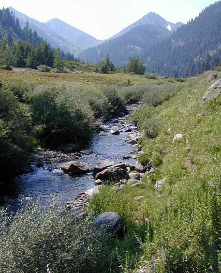
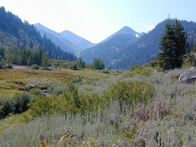
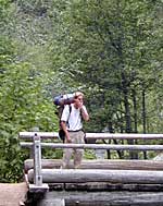
 Mineral King Hiking
The majority of day hikes out of Mineral King tend to be moderately
strenuous up & over passes into the high Sierra Wilderness.
A nice meadow hike along creeks via Cold Springs campground.
FOOTBRIDGE HIKE:
A great short day hike to Kaweah River bridge from Atwell
Mill campground.
Crystal Lake: 10 miles RT; no maintained trail beyond
Crystal Lake.
Franklin Lakes: 10.8 miles RT
Monarch Lakes: a long day hike/ one of the easier hikes
in Mineral King valley. 8.4 miles RT
Timber Gap: 4 miles RT
White Chief Trail: 6 miles RT ; scenic hike up west
side of Mineral King Valley.
Eagle / Mosquito Lakes: 11 miles RT; good fishing